
Gresham ZIP Code Coverage by Postal Route
Postal delivery geography overlaps Gresham in more than one way. The documented local routes include the principal Gresham postal area, south and southeast delivery areas, and Portland postal-city labels that occur in Gresham neighborhood or City-service context. A Gresham ZIP code directory is clearest when it treats those as address-level postal facts rather than as a map of City jurisdiction. The table records what the source material supports; a USPS result for the specific delivery address remains the deciding check.
| ZIP | Areas covered in the research | Post office or postal geography | Address-research note |
|---|---|---|---|
| 97030 | Principal Gresham postal area; City Hall and the Gresham Post Office use this route. | Gresham Post Office, 103 W Powell Blvd. | Use USPS for the individual delivery ZIP instead of relying only on the City label. |
| 97080 | Documented Gresham addresses on the south, southeast, and Pleasant Valley side. | Gresham-area delivery geography | City examples support the area, but the address result controls. |
| 97230 | North Gresham and Rockwood City neighborhood or service context includes Portland 97230 mailing addresses. | Portland postal-city geography | It is a postal-city mismatch, not a Gresham USPS designation. |
| 97233 | Centennial City neighborhood or service context includes Portland 97233 mailing addresses. | Portland postal-city geography | Verify each address instead of assigning a City record custodian from the ZIP. |
The official Gresham Post Office location confirms 97030 at 103 W Powell Blvd., Gresham, OR 97030-3000, with customer contact at 503-665-2663. It does not make every nearby Gresham-address record a 97030 record.
Verify a Gresham Delivery ZIP
Start with the complete physical address, not only the City name. The USPS address lookup verifies the ZIP associated with that delivery address, while the USPS city and state finder returns ZIPs for a postal city. USPS expressly cautions that a ZIP result does not confirm that a person or organization is at the address. It confirms a delivery relationship, which is the right first check before using a property map or County account.
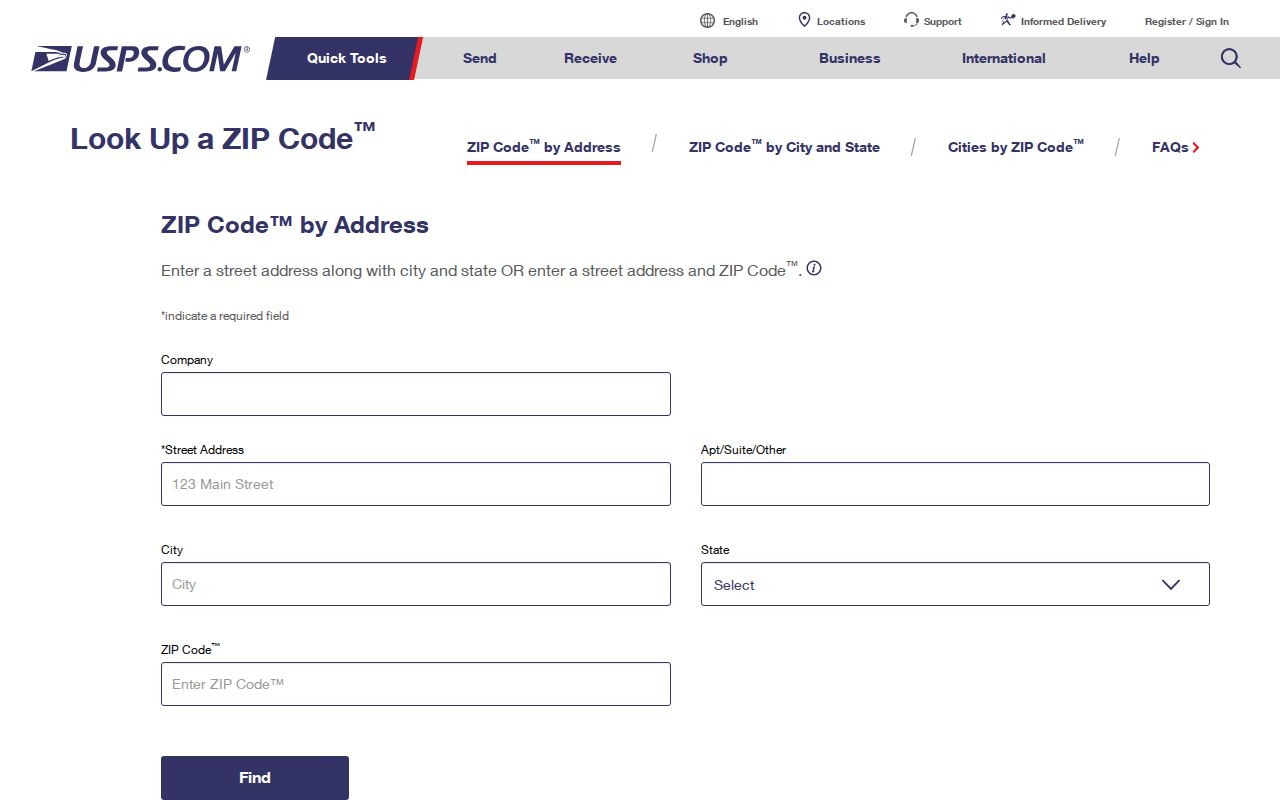
The USPS address-to-ZIP interface supplies the postal verification step for a Gresham address search.
Once USPS returns a delivery ZIP, keep the complete address exactly as checked. The City and County tools use that address or a property identifier, not a postal-city generalization.
Use a Gresham ZIP to Verify an Address
A ZIP does not create a street-wide person search in the official systems inspected for Gresham. It is still useful as the first part of an address-verification workflow. The next steps convert the delivery result into the physical location and property key that City and County custodians recognize. That approach respects the source limitations and avoids treating a postal route as a parcel boundary.
- Run the full delivery address through the USPS address lookup and retain the returned ZIP and standardized street form.
- Enter the standardized site address in Gresham Map to confirm the parcel setting, available City attributes, and the County or State property ID if displayed.
- Use that address or Property ID in MultCoPropTax to locate the County tax account and its owner, situs, mailing, and legal-description fields.
- If the address is older or unclear, use SAIL with an address, tax lot, plat, or survey clue to reconnect it to durable land geography.
- For a street-level continuation after the parcel is confirmed, use the Gresham street directory workflow rather than assuming the ZIP identifies every parcel on a route.
Postal verification is most useful at the first step. The property ID, tax lot, plat, or legal description then carries the research into County records and older maps.
Gresham ZIP Search Portal Limits
No inspected official property or map portal confirms a ZIP filter. MultCoPropTax is keyed to an address or Property ID, TaxGraph is keyed to a Property ID or address, Gresham Map uses a site address, business name, county property ID, or state property ID, and SAIL uses an address, tax lot, plat, or survey. The County voter-list process allows a requester to describe geography, but the research does not verify a ZIP option. An official Gresham postal search should not promise a ZIP-wide property or voter result where the documented interface does not offer one.
| Official record tool | Documented input key | ZIP filter confirmed? | Research-driven alternative |
|---|---|---|---|
| MultCoPropTax | Property ID or address | No | Verify the address with USPS, then search the County account. |
| TaxGraph | Property ID or address | No | Use the confirmed address or Property ID for the tax and value display. |
| Gresham Map | Site address, business name, County ID, or State ID | No | Find the parcel and carry its ID into the County tools. |
| SAIL | Address, tax lot, plat name, or survey number | No | Use the parcel clue to examine survey and assessor-map context. |
| County voter-list process | Defined geographic criteria in a request | Not verified | Request the smallest lawful geography and list need through Elections. |
The practical nearby feature is an address-first property chain, not a substitute ZIP field. It preserves the recorded postal fact while using the actual keys of the systems that hold the parcel and title records.
Note: A portal that accepts a City name or displays a mailing ZIP is not documented evidence of a ZIP-wide search filter.
Gresham ZIP Routes and City Lines
ZIP routes are delivery geography, while City limits and County record responsibility depend on jurisdiction and parcel facts. City materials document Portland 97230 and 97233 labels in Gresham service or neighborhood context, showing why a postal city cannot choose the right custodian on its own. Gresham's annexation history adds another layer. A historical address can have been in unincorporated Multnomah County, Gresham, or another municipality when the relevant deed, permit, or directory entry was created.
The Census Bureau's ZIP Code Tabulation Areas, or ZCTAs, are generalized Census geographies, not Postal Service routes. The Census explanation of ZIP data is useful for that distinction. A ZCTA boundary should not be used to decide a City, County, or neighborhood-association jurisdiction for a Gresham record.
- ZIP and ZIP+4
- A ZIP identifies a delivery area; ZIP+4 adds a smaller delivery segment within that area.
- Postal-city label
- The city name used for mail delivery, which can differ from the incorporated municipality or the record custodian's jurisdiction.
- ZCTA
- A Census approximation used for tabulation, not a USPS route or a municipal boundary.
- Carrier route
- A Postal Service delivery sequence used for mail operations, not a parcel, household, or City-limit record.
Gresham Grid Changes for ZIP Searches
The City has its own street-name and address authority under Development Code Appendix 13. The City assigns or reassigns addresses inside City limits using the Gresham Grid and Portland Metropolitan Grid as appropriate. The Postal Service does not assign incorporated-Gresham property addresses. That is why a delivery ZIP should be paired with the compass direction, street type, and City-approved address when moving into parcel records.
An address change in the Butler Creek Subdivision area illustrates the need to retain both forms. Effective May 15, 2025, 2466 SW Butler Road changed to 2466 SW 39th Street. The City address-change notice identifies the associated map/tax lot, State ID, and Property ID, and notes that the City notified USPS, County taxation and elections, Metro, and emergency communications. Search the former and current road names when either appears in a record.
Other Butler Road portions received the SW Binford Avenue and SW Rodlun Road designations. The research did not find a complete Citywide renumbering chronology, so a dated City notice is the appropriate evidence for a particular address change.
Gresham ZIP Record Keys
Three local keys should stay separate after an address is verified. The situs address is the physical location and works in City and County address tools. The mailing address is where the tax office sends notices and may differ from the location. The legal description, tax lot, plat, or survey is the durable land identifier for deeds and older maps. The DART correction process separates Property ID or parcel information from mailing-address fields, which is a practical reminder not to collapse those facts into one.
For a recorded-document trail, begin with the current tax account and its legal description, then search MultCoRecords for the acquisition document. Its public web index begins in February 2002. Earlier research continues through the DART deed index from 1855 to the present, recorded images from 1955 to the present, and older film requests. The property address is a useful start; the land description supplies continuity when the street wording changes.
Note: A mailing field can help route tax correspondence but does not establish where a property owner lives.
Gresham ZIP Before Modern Routes
Older Gresham material often predates the address and postal assumptions used today. Multnomah County Library documents Gresham and nearby by-address directories, rural-route directories, maps, and historical newspapers as separate routes for a household-history question. Tscheu rural directories run from the late 1950s through the late 1970s in documented holdings, and rural-route maps can help where a modern street number did not yet exist. Confirm the volume's municipal or rural coverage before treating a directory entry as the same parcel.
Digital Sanborn maps, covering 1867 through 1970 and including Gresham, show buildings, lots, streets, and infrastructure. Metsker Multnomah atlases from 1927, 1936, and 1944 add physical location clues. Pair those sources with the current Property ID, legal description, or tax lot before matching an old number to a current delivery address. That is the local alternative when a historic record has no usable ZIP at all.