
Gresham Neighbors Block Sources
One address can identify the block around it, but the public sources have different roles. City mapping gives the local parcel setting and neighborhood boundary. County property material supplies the owner of record for each parcel. A recorded deed documents a transfer, while a Walking List is a defined voter-list product rather than a map layer. Association pages offer civic contacts and meeting paths. None of these sources is a complete roster of everyone who may be living nearby.
| Source | What It Shows About a Block | Access |
|---|---|---|
| Gresham Map | Adjacent parcel geography, zoning, neighborhood boundary, and property facts | Open City map; click or browse parcels |
| SAIL / county maps | Tax lots, plats, surveys, owner and assessment-layer context | Address, tax-lot, plat, or survey query; research-room fallback |
| MultCoPropTax / DART | Owner of record and account facts for the selected parcel | Address or Property ID guest route; focused DART request |
| County Walking List | Statutorily public voter-list fields in precinct walking order | County request process, protections, and use limits apply |
| Neighborhood associations | Association boundary, meetings, and public contact pathway | City finder and association page, not a household roster |
Keep owner, mailing, and site-address fields separate. An owner can receive tax notices elsewhere, and map adjacency does not establish who occupies a parcel. This Gresham neighbors method is most reliable when every selected parcel is checked as its own record.
Gresham Neighbors Parcel Flow
Start the adjacent-parcel process with the focal site address in Gresham Map. The goal is to build a small, dated set of parcel records, not to infer a block from a street name. The City map is the local entry point because it connects an address to its county or state property identifier, parcel facts, zoning, and neighborhood association. County sources are still the authority for assessment and recorded-document material.
- Find the focal address in Gresham Map and note its County or State property ID, tax-lot clues, and legal description.
- Pan and click only parcels that touch the same street segment or block. Save each selected parcel’s identifier separately.
- Use MultCoPropTax or SAIL for each parcel, then distinguish the owner field from the mailing and situs fields.
- Where a transfer needs context, use that parcel’s legal description in MultCoRecords or ask DART for the particular document.
This process moves from address to parcel, parcel to county account, and county account to a dated document when needed. It does not supply an occupancy finding. For a broader named-street chain, use the Gresham street directory rather than extending one block’s evidence beyond its proper scope.
Gresham Neighbors Map Keys
Gresham Map accepts a site address, business name, County property ID, or State property ID. Its parcel output can include parcel size, building square footage, year built, land real market value, aerial imagery, zoning, neighborhood association, and garbage-hauler context. SAIL serves a different county role. Its Parcel Search says “Enter Address, Survey ID, or Survey Plat Name,” and it adds tax-parcel, plat, survey, field-book, and map layers. Neither documented source promises a buffer or neighbor-selection control, so click and confirm adjacent parcels instead of assuming a radius result.
The comparison matters when a map result fails. Gresham Map normally has maintenance on the second and fourth Tuesday from 7 to 9 p.m. The County announced its newer ArcGIS SAIL platform in February 2026, with the older platform expected to be discontinued. Interface labels may change, but the property ID, tax lot, and legal description remain useful bridges between the City and County maps.
Gresham Neighbors Permit Context
Permit and planning records add project context near a Gresham block. They can show an application, approval, inspection, or work history at an address, but they do not list every household. The City separates its sources by era: EnerGov covers 2021 forward, Gresham Map covers 2005 through 2020, and PITS covers building records from 1992 through 2005. For earlier material, contact PermitCenter@GreshamOregon.gov or Planner-on-Duty at POD@GreshamOregon.gov. The City says public searches do not require an account.
The Gresham EnerGov public search is the current-era permit and land-use route.
A dated permit result can help explain work on a nearby parcel, but it should be kept separate from a claim about who lives there.
Gresham Neighbors Walking List Route
For a block-level voter question, the documented route is a Multnomah County Walking List or another specifically defined list request. A Walking List places names, addresses, party registration, and allowed history fields in precinct walking order. It is not a live parcel-map overlay. County material limits the data to registered Multnomah voters, and Oregon law excludes protected voters and protected data. Ballot choices are not disclosed. Ask for the smallest lawful geography and time period, then keep the list’s production date with any research note.
| County request step | Documented requirement |
|---|---|
| Public Records Center | Create or use an account for the portal route |
| Department | Select Elections Division |
| Record type | Select “Voter List” |
| Description | State the list type, geography or precinct, date or status need, and desired format |
| Delivery | Follow County questions, invoice, payment, and released-material steps |
The County also describes voter registration, voted or not voted, ballot challenge, and PCP lists, each with its own timing and contents. The list requester cannot use supplied information for commercial purposes. For a person’s own registration action, use the voter service or contact Elections at 503-988-8683 instead of treating another person’s record as a self-service profile.
Gresham Neighborhood Association Contacts
The City-recognized association layer is a useful way to identify a community contact after the parcel is placed on the right side of a boundary. The Gresham neighborhood associations page provides a finder, printable map, association pages, and meeting contacts. Associations must allow residents and property owners inside their defined area to participate. They are independent groups, not a City-published list of member households.
Gresham recognizes 16 independent associations, with recognition dating to 1989. The City’s public pathway for each is the finder, association page, or meeting contact. Neighborhood Services can help with the City program at 503-618-3214 or NeighborhoodServices@GreshamOregon.gov; the office is on City Hall’s third floor.
| Association | City-published contact pathway | Association | City-published contact pathway |
|---|---|---|---|
| Centennial | Finder and public meeting route | Central City | Finder and public meeting route |
| Gresham Butte | Finder and public meeting route | Gresham Pleasant Valley | Finder and public meeting route |
| Historic Southeast | Finder and public meeting route | Hogan Cedars | Finder and public meeting route |
| Hollybrook | Finder and public meeting route | Kelly Creek | Finder and public meeting route |
| North Central | Finder and public meeting route | North Gresham | Finder and public meeting route |
| Northeast | Finder and public meeting route | Northwest | Finder and public meeting route |
| Powell Valley | Finder and public meeting route | Rockwood | Finder and public meeting route |
| Southwest | Finder and public meeting route | Wilkes East | Finder and public meeting route |
Gresham Neighbors Boundary Dates
Association boundaries are present-day civic geography. They are not proof that the same boundary existed when an older deed, directory, permit, or map was created. Preserve the source date before joining an old address to a current association. Gresham’s City limits and planning areas have changed over time, and some historical addresses may have been in unincorporated Multnomah County or another jurisdiction. A postal label is not a substitute for the dated parcel and boundary check.
The City neighborhood association page supplies the current finder and map used to place a Gresham block.
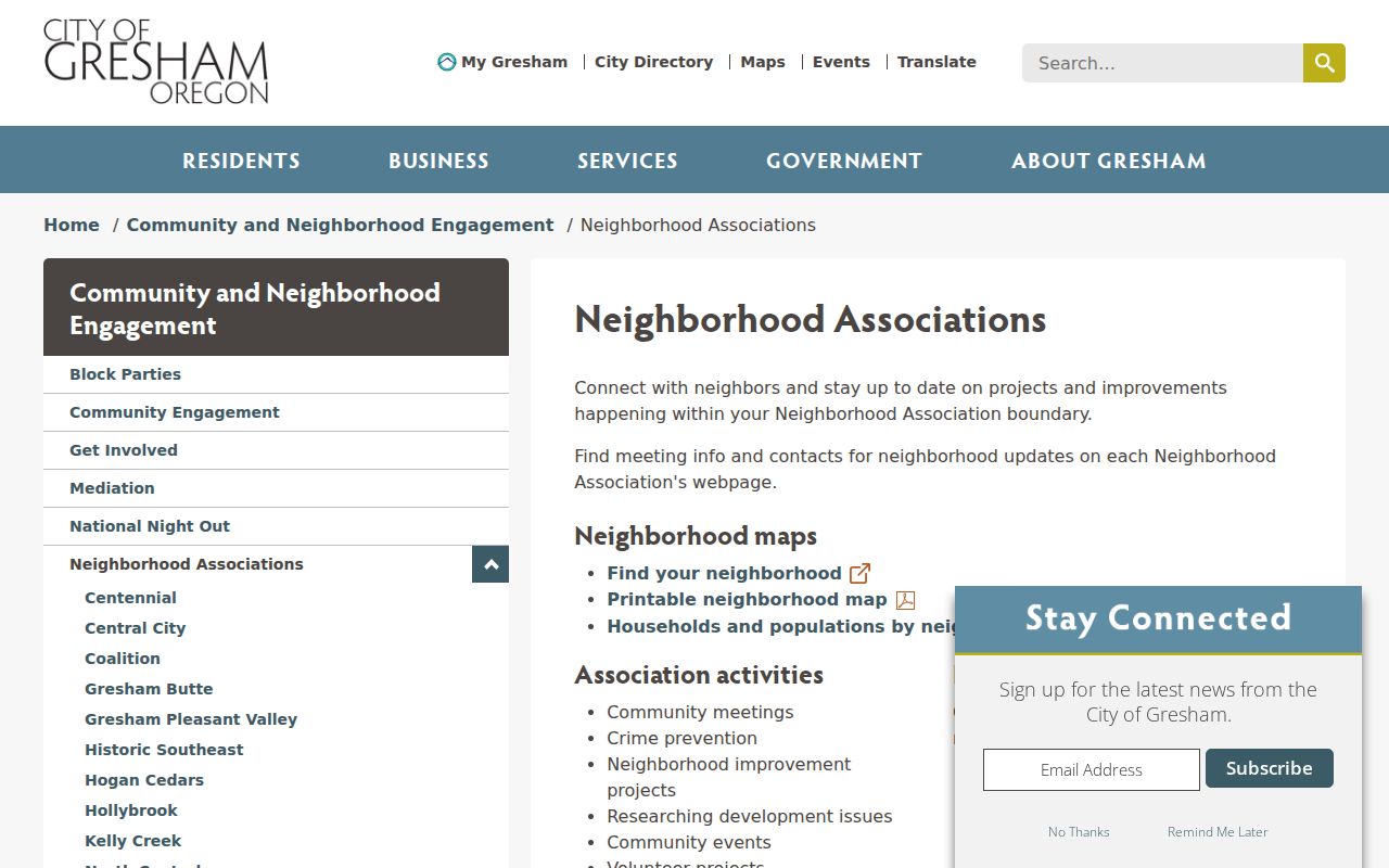
Use that current boundary as civic context, then verify historic jurisdiction with the applicable dated map, parcel, permit, or directory source.
Gresham Neighbors Source Comparison
Official sources identify their custodian, field scope, and correction path. A commercial neighbor compilation may combine material from different dates and sources, and it can misplace a same-named person or miss protected information. The comparison below keeps the block inquiry grounded in what each category actually supports.
| Source category | Best use and limit |
|---|---|
| Official parcel and deed record | Confirm a selected parcel’s owner of record or recorded party, with a date and legal-description trail |
| County voter-list product | Use only the defined statutory list and its production date; it is not a household census |
| Commercial neighbor compilation | Treat as an unverified lead and confirm any claim with the office that created the source record |
Gresham Neighbors Privacy Limits
Property owners may appear in tax and recording records, but non-owner occupants and other household members do not appear in a public neighbors list. Protected voters, Address Confidentiality Program participants, utility accounts, delivery information, restricted vital records, and protected court material stay outside this block method. Do not treat a missing record as a negative finding. When a government record is wrong or protected, contact its custodian for the applicable correction or confidentiality route.
Lawful use. Use Gresham neighbors information only for lawful personal research. Oregon law prohibits stalking and harassment, and voter-list data has its own statutory use restriction.
For a safety concern or suspicious property solicitation, check the underlying County or state record directly and preserve the date, record number, and source. A map pin, mailing label, or association boundary alone is never enough to identify a person or make a claim about a household.