
Gresham Previous Resident Sources by Era
A backward search works best when the source changes with the era. Multnomah County recording and tax systems establish an ownership trail. Maps, surveys, permits, directories, and census records help test the physical address and the household layer. The web is only one entry point. DART research-room terminals, library holdings, film, staff contacts, and a narrow records request supply the older material that a web-only search misses.
| Source | Years It Covers | Where Held | What It Shows |
|---|---|---|---|
| MultCoRecords web index | February 2002 to current | Online | Recording number, date, document type, parties and legal description |
| DART deed index | 1855 to current | Public research room | Older grantor, grantee, and title-chain leads |
| DART recorded images | 1955 to current terminal; earlier material may require film | Research room or copy request | Recorded instrument and attachments where available |
| Tax rolls and characteristics | Tax rolls 1909 to current; characteristics 1991 to current | DART request or research room | Owner, tax account, legal description, values and property facts |
| County surveys and plats | 1852 to present | SAIL, paper, microfilm, and online sources | Boundary, subdivision, plat, and map continuity |
| Gresham and nearby directories | Verified holdings; complete run not cataloged | Gresham and Central Library | Name and by-address household clues |
| Tscheu rural directories | Late 1950s to late 1970s; 1977 example documented | Multnomah County Library | Rural-route maps and earlier delivery clues |
| Sanborn maps | 1867 to 1970 collection | Library and early Library of Congress maps | Buildings, lots, streets, and address context |
| Gresham permit systems | 1992 to current, split by City system | PITS, Gresham Map, EnerGov, or request | Work, approval, and inspection history |
| United States census | Released on the federal 72-year schedule | National Archives and genealogy channels | A dated household snapshot, not a current record |
Start with the selected property rather than a surname alone. MultCoPropTax offers guest entry by Property ID or street address and identifies the owner of record, property facts, taxes, and bills. It does not provide a complete list of people at an address.
Capture the property ID, physical address, legal description, and owner of record. The tax mailing address is a route for tax notices, not proof that the owner occupied the Gresham property.
Gresham Previous Residents Parcel Keys
A street number can change or be reused. The durable bridge for Gresham previous residents is the legal description, parcel or map-tax-lot number, and property ID. MultCoPropTax, county maps, and the City map distinguish the physical or situs address from a tax mailing address and a legal description. Keep all three, but use the land identifier when a deed, plat, or older map must be matched.
SAIL, the Survey and Assessor Image Locator, provides an independent map path. County instructions identify address, tax-lot number, plat name, and survey number as search routes. Survey records from 1852 forward appear through paper, microfilm, and online layers. A parcel can be tested against a recorded plat instead of forcing a modern street label onto an older record.
Follow a Gresham Deed Chain Backward
Recorded documents establish ownership changes, not a complete household list. Begin with the current account and the owner's acquisition document. Then read the image or order a copy to confirm the legal description and the prior party. Search that seller and the same land description for the earlier acquisition. Repeat the sequence, preserving document number, recording date, type, party role, and legal description at each link.
MultCoRecords is the web gateway for the Gresham previous residents deed trail beginning in February 2002. County guidance describes name, date, document type, and other criteria, with results showing document number, type, recording date, party names and roles, and legal description. Its documents are not certified, and the published description does not promise an address-only deed search.
The index can identify the next document to inspect. For an older instrument, give DART the document number, book and page for pre-1994 records, recording year, document type, names when known, and the property or legal-description details.
- Find the current parcel's owner of record and legal description in the county tax material.
- Locate the owner's acquisition document and record its parties, date, number, type, and legal description.
- Use the seller or grantor and the same land description to locate the earlier transfer.
- Repeat backward, checking each instrument image or requested copy before adding a link to the chain.
- Move to DART when the web index ends, carrying the party names, legal description, and document details.
- Grantor and grantee
- The grantor transfers an interest in the property. The grantee receives that interest.
- Chain of title
- The documented sequence of transfers for the same property, tested one instrument at a time.
- Legal description
- The formal land description used in recorded documents. It is usually more stable than a street number.
Gresham Past Residents Beyond 2002
The February 2002 MultCoRecords cutoff is a web cutoff, not the start of Multnomah County title material. DART's public research room has a deed index from 1855 to current and recorded-document images from 1955 to current. Documents before 1965 must be requested from film. County archival material also includes a Multnomah County deed book for 1849 to 1854, a useful boundary-era lead when a very early transaction falls outside the routine index.
DART Recording and Customer Service is at 501 SE Hawthorne Blvd., Suite 175, Portland, with a documented one-hour research-room limit per person each day. The room is the practical answer when a Gresham previous resident search reaches a pre-2002 web gap. Bring the legal description and party details, not only the house number.
Note: Older recording images may require a DART copy request or film retrieval even when the deed index identifies the correct transaction.
Pair Gresham Past Residents With Census
Ownership alone does not identify everyone who lived at a property. For past residents, use the Gresham and nearby by-address directories, rural-route sources, and census material as a separate household layer. The library's volumes have useful Gresham coverage, but their full sequence has not been established from the public catalog. The historical collections themselves are described with their limits in the Gresham city directory collections.
Multnomah County Library's east-of-I-205 house-history guide documents the local directory and rural-route path.
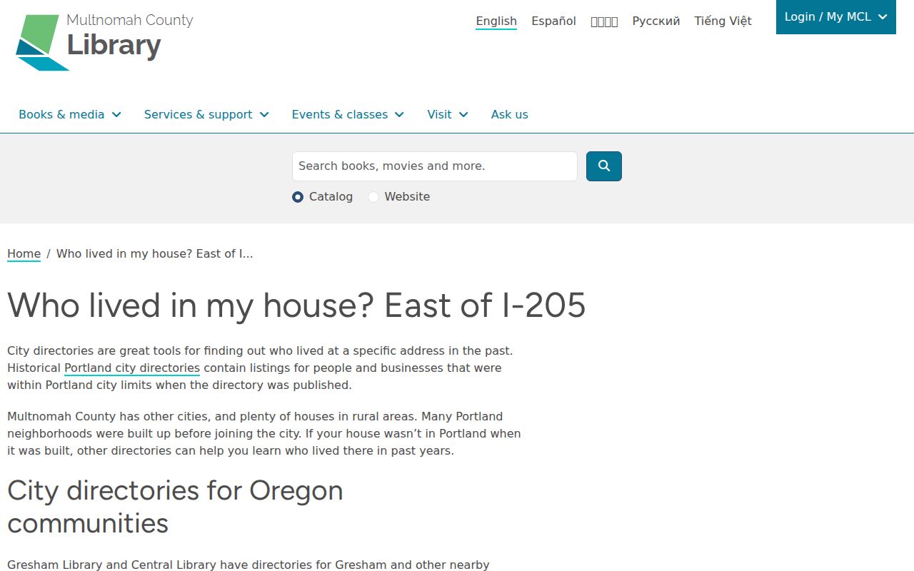
Pick the volume that matches the property's town or rural geography for the date. A name's absence can result from a changed boundary, a different listing practice, a spelling variation, or a gap in the available volumes.
- Match the current parcel and old address variant to the municipality or rural area for the directory year.
- Record the directory entry, reverse listing when available, and every abbreviation exactly as printed.
- Compare the next available directory year for an address or household change.
- Use the applicable released census year as a dated household check, then test conflicts against deeds, maps, newspapers, probate, or obituaries.
Test Gresham Previous Residents on Maps
Sanborn and Metsker maps provide a physical check before an old address is connected to a present parcel. The library says its Digital Sanborn collection, covering 1867 through 1970, includes Gresham and can show individual buildings, lots, streets, and infrastructure. Metsker Multnomah atlases for 1927, 1936, and 1944 can show lot lines, street names, and occasional owner labels. The County Surveyor record path adds maps and field evidence from 1852 forward.
The library's map guide is the source for these Gresham house-history map materials.
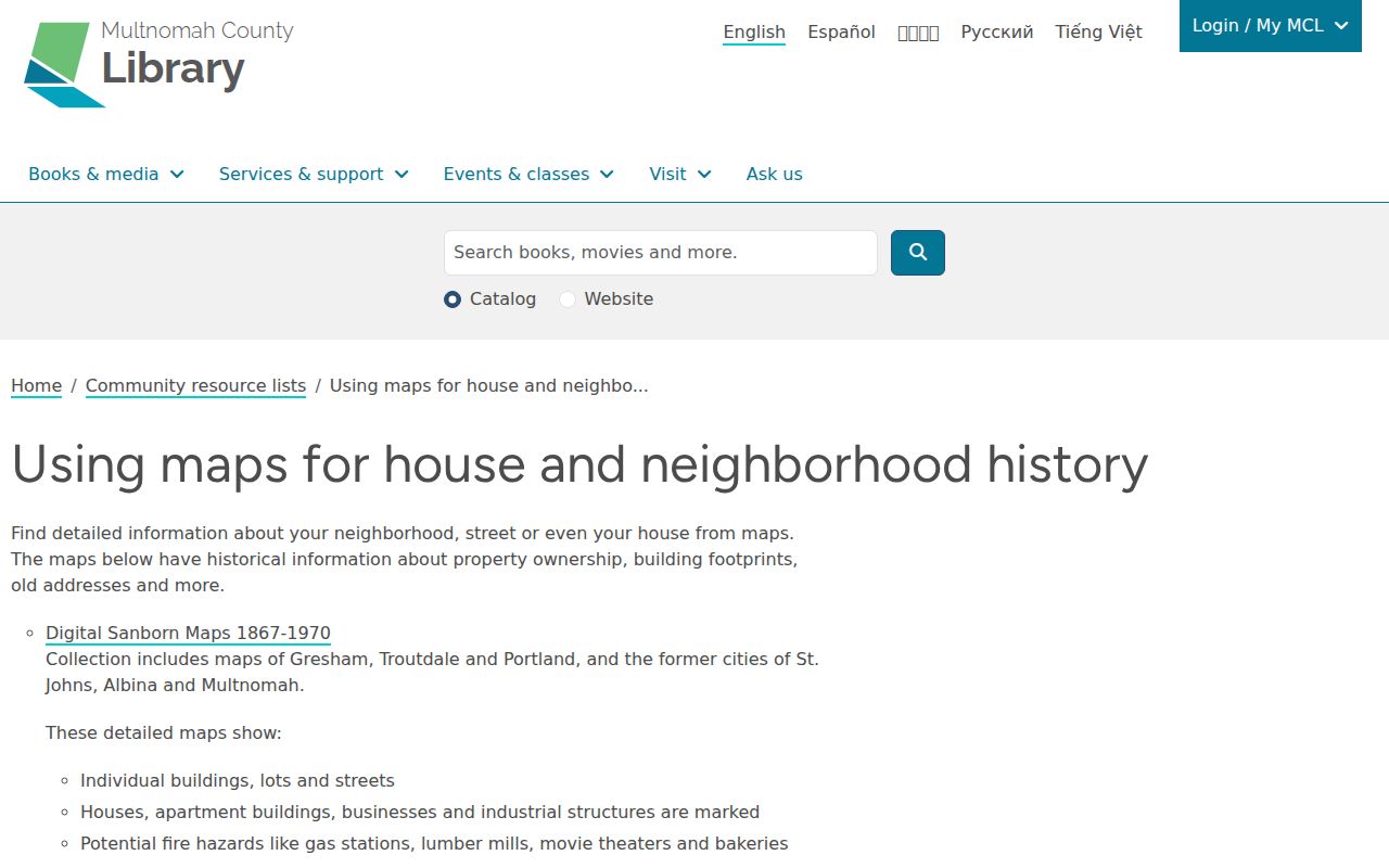
A map can confirm a building footprint, street pattern, or lot context. It cannot by itself prove that a named person lived there. Use it to test the deed or directory chain, especially when old numbering is uncertain.
Gresham Permit Eras
City permit and inspection records can date changes to a property and sometimes explain why the physical description shifted between sources. Gresham divides access by the actual record era: EnerGov Self Service for 2021 forward, Gresham Map for 2005 through 2020, and PITS for building records from July 1992 through August 2005. Earlier material goes to PermitCenter@GreshamOregon.gov or Planner-on-Duty at POD@GreshamOregon.gov. The City says public searches do not require an account.
Gresham PITS is the documented legacy search for the middle period.
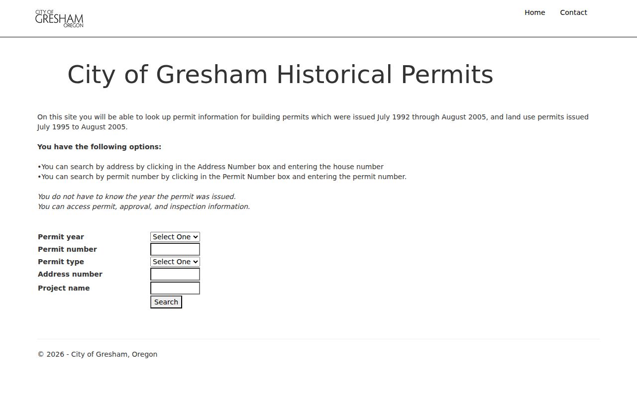
PITS searches by address number and can also use a permit year, number, type, or project name. Permit data can establish work, approvals, or inspections, but it is not a reliable list of every past resident.
Gresham Past Residents Address Changes
Older Gresham records need a boundary and name check. The City assigns addresses through the Gresham and Portland Metropolitan grids, while the Postal Service does not assign incorporated-Gresham property addresses. Gresham incorporated in 1905, and its annexation history includes several growth eras. A property may have been rural, unincorporated, or in a different local context when an older directory, map, or permit was created.
A concrete search bridge exists in the Butler Creek area. An official City notice made 2466 SW Butler Road into 2466 SW 39th Street effective May 15, 2025. Search both names for that property area, and retain the parcel identifiers from the notice. Do not assume that every old street name change follows the same pattern, because no complete citywide renumbering chronology was documented.
Gresham House-History Request Fallback
When self-service sources stop, request the narrow record that would prove or disprove the next link. The DART recorded-document request form accepts an account number, map or tax lot, property address, legal description, alternate account, document number, book and page, year, type, and names when known. It also allows regular or certified copies and email, pickup, or mail delivery. For a County request outside the self-service channels, give the address, property ID, date range, and document type to the Multnomah County Public Records Request Center and ask for an estimate.
County guidance says payment is due before release when a charge applies, and a public-interest waiver or reduction can be requested. The best fallback is a focused request, not a guessed ownership sequence. Keep the response with the timeline so a later reader can see which link came from an index, an image, a map, or a request.