
Trace the Gresham Street Directory
An address search in Gresham works best as a narrow chain. Begin with the map or parcel record, then move from the current county account to the recorded title history. Each stop answers a different question. The property account identifies an owner of record and the land key. Map layers show the parcel in its local setting. A deed documents a transfer, not a complete list of people at an address. Historical directories can add an older occupant clue, but their coverage depends on the jurisdiction and year of the volume.
- Enter the address in Gresham Map or SAIL, retain the complete address, property ID, and any tax-lot or legal-description clue.
- Use MultCoPropTax with the address or Property ID. Record the owner of record, situs address, mailing address, and legal description as separate fields.
- Browse the relevant street segment by selecting individual parcels in the City or county map. Neither inspected map publishes a bulk street roster.
- Search MultCoRecords for an acquisition document, then follow the named parties and legal description backward.
- When the web index ends, take the legal description, party names, and date clues to the DART research room for its older deed-index and image paths.
- For an earlier address, consult the library's by-address and rural-route material, then test the clue against a deed, map, or other custodian record.
That sequence keeps the Gresham street directory tied to the address and record date rather than to a name match alone. It also makes an old street variant easier to recognize before it is mistaken for a different parcel.
Read Gresham Property Accounts by Street
MultCoPropTax provides free guest entry for an address or Property ID. The County also describes owner-name searching in its Tax District and Map Image Viewer. These are property-account tools, so they can establish the owner of record, assessment details, tax history, and the address fields held for the account. They do not turn an address into a complete list of present occupants. Start with the full street address, then save the Property ID and legal description before switching systems.
The MultCoPropTax guest-entry screen is the County's starting point for a Gresham street-directory property check.
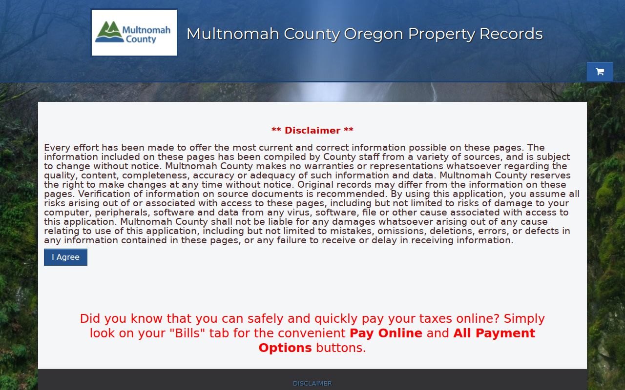
Guest access is useful for a single confirmed address; the Property ID it leads to is often the better bridge to a map, request, or deed search.
- Parcel
- A mapped unit of land used to connect a location with county assessment and map information.
- Situs address
- The physical location of the property, which is the address used by City and county map tools.
- Plat
- A recorded map that lays out lots, streets, or a subdivision and can help match land to an older record.
- Criss-cross directory
- A reverse, by-address directory section that starts with a street and number instead of a person's name.
Note: A tax mailing address routes notices and does not establish that the owner lives at the Gresham situs address.
Map a Gresham Street Through SAIL
Gresham Map is the City companion to the County account. It accepts a site address, business name, county property ID, or state property ID, and its parcel results can show size, building year, land real market value, zoning, aerial imagery, and neighborhood association information. The City says its mapping applications are normally down for maintenance on the second and fourth Tuesday from 7 to 9 p.m. A failed search during that window may be scheduled maintenance rather than a missing address.
SAIL, the County Survey and Assessor Image Locator, moves beyond the street label into tax lots, plats, surveys, and assessor images. Its survey record sources reach from 1852 to the present. The documented controls below are useful when an address alone is too modern or too ambiguous.
| Gresham or County search field | Input type | Required | Use for a street record |
|---|---|---|---|
| Site address / Address | Text or map query | No | Locate the current parcel in Gresham Map or SAIL. |
| County or State property ID | Text or map query | No | Reconnect City parcel geography to the County account. |
| Tax Lot Number | Text | No | Find the durable county land identifier. |
| Plat Name / Survey Number | Text or map search | No | Open recorded plat or survey context for the parcel. |
| Owner Name | Text or map search | No | Documented for the County Tax District and Map Image Viewer, not asserted for MultCoPropTax. |
| Property Address | Text | No | Use the documented county map-search key when an address needs confirmation. |
| Map Page / Section | Text | No | Use documented county map-search keys when available. |
| Info or help | Control | No | New SAIL directs users to its Info button for navigation tips. |
SAIL allows address, tax-lot, plat, and survey searches, but the inspected configuration does not document a select-neighbors or radius command. Walk a street by clicking and checking individual parcels instead of treating the map as a street-wide output.
Follow Gresham Deeds Beyond 2002
For a Gresham property, MultCoRecords supplies a public recorded-document index from February 2002 forward. Search the current owner or party information from the account, identify the acquisition document, and compare its legal description with the parcel. The seller, also called the grantor, becomes the next title lead. Repeating that transaction trail is more reliable than following a street number by itself, because a legal description, plat, or tax lot can keep the same land connected when an address label changes.
The MultCoRecords recorded-documents index is the online entrance for a recent Gresham deed-chain check.
The web index is not the end of the chain. DART's public research room has a deed index from 1855 to the present, recorded-document images from 1955 to the present, and an earlier film route. A precise copy request can use a document number, pre-1994 book and page, recording year, document type, and party names.
For a record not available through self-service, the Multnomah County Public Records Request Center accepts a narrow request with the address, Property ID, date range, and document type. Ask for an estimate before release when a charge may apply. This DART fallback is the local answer to a web cutoff, not a reason to guess at an older transfer.
Date Gresham Street Projects by Era
City permit and land-use material has three documented eras. PITS covers July 1992 through August 2005, Gresham Map carries the 2005 through 2020 era, and EnerGov Self Service covers 2021 forward. Earlier material requires staff help or a City public-records request. These records can place a project, approval, or inspection at an address, but they do not reliably identify everyone who lived there.
The Gresham PITS legacy search uses a house number and can be narrowed with an optional permit year, number, type, or project name.
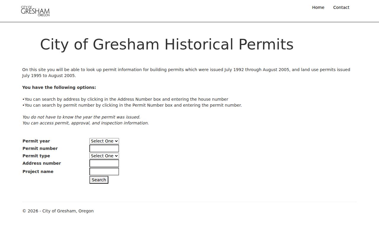
Matching the search to the correct era helps avoid treating an empty PITS result as proof that no City record exists for the street address.
Note: Permit files date public activity at a property and should be matched to the City's documented system era before drawing any conclusion.
Address-Linked Gresham Street Records
The record sets below all use an address, parcel, legal description, or geographic request in a different way. Together they explain why a street-by-street search needs more than one official channel. The property record is current account context, the recorded index is a title trail, and the City permit systems document particular activity. Library sources supply older household leads, while the voter-list route has defined statutory access and exclusions.
| Address-keyed record | Gresham or County keeper | What it can show | Documented access |
|---|---|---|---|
| Assessment and tax account | DART | Owner of record, land and building facts, values, taxes, and distinct mailing and physical fields. | MultCoPropTax guest entry, TaxGraph, research room, or request. |
| Deed and recorded-document index | Multnomah County Clerk / DART | Parties, roles, recording date and number, document type, and legal description. | MultCoRecords for February 2002 onward; DART deed index for 1855 onward. |
| Recorded document image | Multnomah County Clerk / DART | The recorded instrument, stamp, legal language, and available attachments. | Home-printable deed path after December 31, 2001, lobby or request, research-room terminal, and older film. |
| Survey, plat, and assessor map | County Surveyor | Tax maps, surveys, plats, partitions, field notes, and boundary evidence. | SAIL, staff contact, and county research materials. |
| Permit, planning, or inspection record | City of Gresham | Project, approval, and inspection history by the correct era. | PITS, Gresham Map, EnerGov, staff help, or City request. |
| Voter list or Walking List | Multnomah County Elections | Only the public fields in a properly produced statutory list. | County Elections public-records workflow with a defined geography and list need. |
County tax rolls run from 1909 to the present, while County Surveyor records reach from 1852 to the present. The differing coverage makes the property ID and legal description worth retaining even when the immediate street question is simple.
Gresham Grid Clues for Street Searches
Gresham Development Code Appendix 13 assigns the City, rather than the Postal Service, responsibility for street names and property addresses inside City limits. It uses the Gresham Grid and Portland Metropolitan Grid where appropriate. Preserve a compass direction and street suffix when searching. A similar number on a nearby road is not a safe match, and a current mailing label does not decide which jurisdiction held a record on an earlier date.
A documented continuity example is the City change effective May 15, 2025: 2466 SW Butler Road became 2466 SW 39th Street. The City notice gives both road names and the property identifiers, and notes related Butler Road designations as SW Binford Avenue and SW Rodlun Road. Search both the former and current forms when this corridor appears in a deed, map, directory, or permit record.
Gresham also grew through several annexation eras. A historic location can have been in unincorporated Multnomah County, Gresham, or another municipality at the time a record was created. The address date, parcel clues, and applicable boundary context should travel together.
Note: No complete Citywide renumbering chronology was located, so an individual City notice is stronger evidence than a general renumbering claim.
Gresham Walking Lists by Street
Oregon My Vote is a service for checking a person's own registration and was not documented as a street-browse tool. The lawful geographic route is a defined voter-list request. Multnomah County describes a Walking List that places the same public voter-list fields in precinct walking order. That can be more useful than a map when a precise, lawful geographic question has a real need, but it is not a live overlay or a complete household directory.
Use the County's Elections maps and data process to specify the list type, requested geography or precinct, date or status need, and delivery format. The County's request route uses a Public Records Center account, Elections Division selection, a Voter List record type, a written description, and invoice/payment steps when applicable. Public fields remain subject to the statutory exceptions and protected-voter rules in ORS chapter 247.
County material lists a $25 charge per list plus $.025 per 100 records, with a $5 minimum and $500 maximum. The list should be kept with its production date because voter rolls are updated as registrations change. The state also offers electronic statewide or less-than-statewide requests, while hard-copy and local non-electronic lists belong with the county elections official.
Earlier Gresham Street Clues
For an address that predates the modern street pattern, the library is the documented household-history bridge. Its Gresham and nearby by-address directories can point to an occupant or business clue for the correct period. Tscheu rural directories from the late 1950s through the late 1970s, including a documented 1977 Multnomah and northeast Clackamas item, preserve rural-route context where a modern number was not yet in use. Directory holdings and years should be confirmed in the catalog before relying on a particular volume.
Digital Sanborn maps cover 1867 through 1970 and include Gresham. Metsker Multnomah atlases from 1927, 1936, and 1944 add lot lines, street names, and occasional owner labels. The library's east-of-I-205 house-history guidance advises determining whether the property was then in Gresham, Portland, or an unincorporated area. For the full historical collection method, the Gresham city directories are organized around the holdings and their limits.
Limits of a Gresham Street Directory
A street address can lead to a public property account, a recorded party, a permit, or the limited public fields in a properly obtained election list. It cannot prove every person who is present at an address, a family relationship, current contact details, or a private delivery account. Non-owner occupants may not appear in land records. Protected voters, confidential court or vital material, Address Confidentiality Program participants, motor-vehicle records, and utility customer accounts remain outside a general street search.
A map side-by-side with another parcel also does not prove occupancy. Treat owner names as record-specific, read the date and party role, and ask the custodian for a defined public record rather than a broad investigation. The City Recorder handles City-held material and directs county-held deeds, taxes, elections, and vital records to the responsible County or state office.
Lawful personal use. Use Gresham address records for lawful personal research and property or family-history questions. Never use an address trail to stalk, harass, intimidate, or harm another person.